Enquire Now
Lidar Analysis
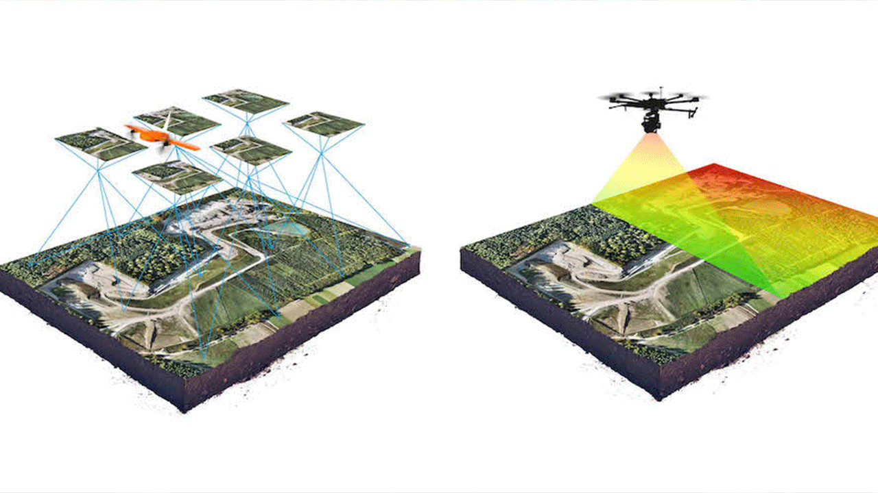
At Drone Van, we specialize in Lidar (Light Detection and Ranging) analysis, a cutting-edge technology that enables highly accurate and detailed spatial data collection. Our Lidar analysis services leverage advanced drone systems equipped with Lidar sensors to capture precise 3D point cloud data. With our expertise in data processing and analysis, we provide valuable insights for a wide range of applications, including mapping, terrain modeling, infrastructure assessment, and more. Discover how Drone Van's Lidar analysis can transform your spatial data workflows.