Enquire Now
Surveying & Mapping
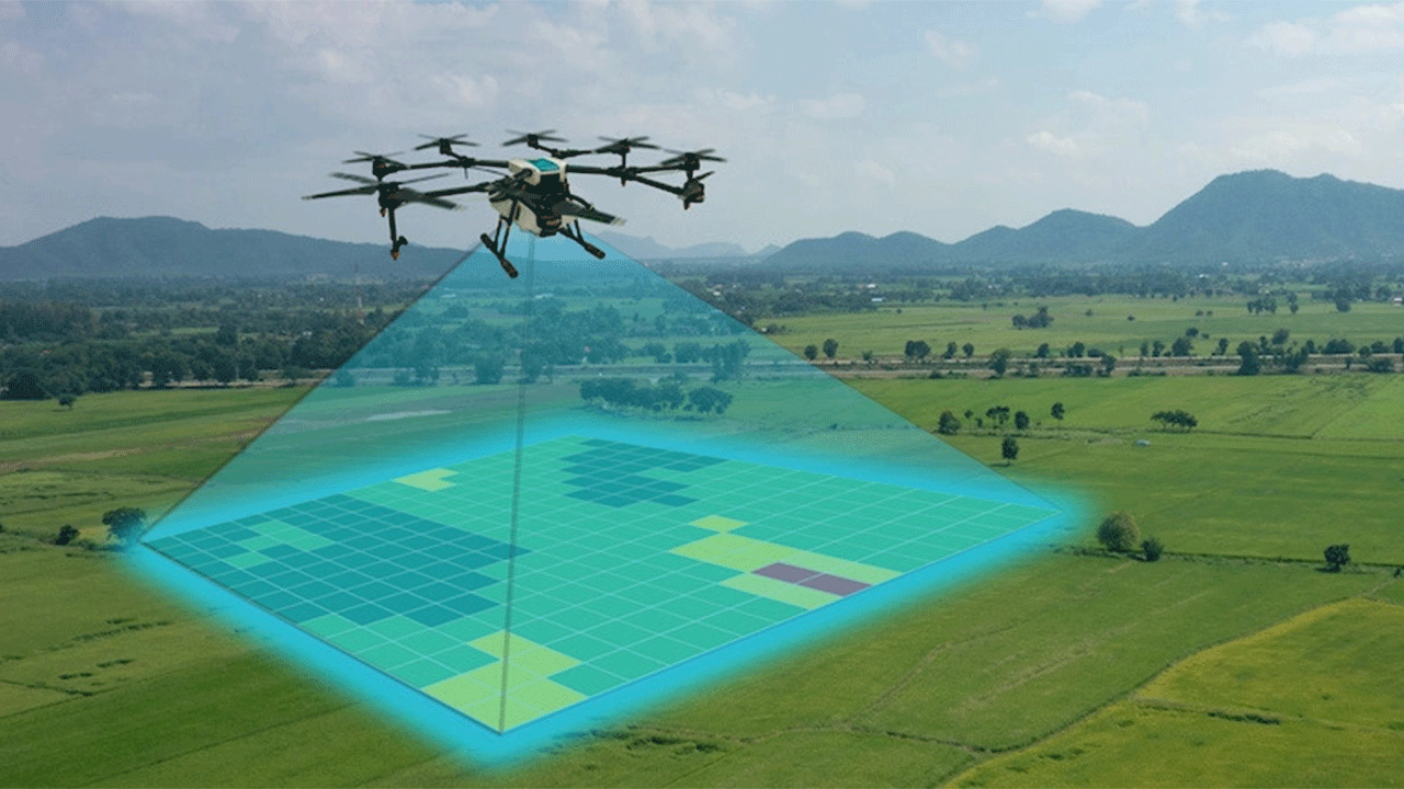
Surveying:
Using state-of-the-art drones equipped with advanced sensors and cameras, we offer precise land surveying services. Our drones can quickly capture detailed topographic data, allowing us to create accurate elevation models, contour maps, and orthomosaic images.
Mapping:
Efficiently monitor and manage your construction projects with our drone-based mapping services. Our drones can capture high-resolution aerial imagery of construction sites, enabling you to track progress, identify potential issues, and optimize workflow. With our detailed maps and 3D models, you can enhance project planning, streamline communication among stakeholders, and improve overall project efficiency.